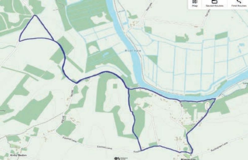
Bramerton Figure of Eight
Walk Information
Starting Point: Car Park at The Village Hall end, Bramerton, Norwich NR4 7EQ. Please park neatly away from the village hall.
Grid Reference: 295054 OS Map OL 40 1:25 000 series
What3Words: ///bounding.sues.expiring
Walk Length: 4.1 Miles / 6.6 Km
Directions
01. The walk starts by leaving the village hall car park and turning left, walking along Easthill Road until you reach Surlingham Road. Turn left and almost immediately turn left into Mill Hill. Then at the next junction turn right into Hill House Road and walk downhill to the river. Then take the footpath on your left and walk along a narrow footpath to reach Bramerton Common.
02. Walk across Bramerton Common and continuing along Mill Hill, with views over the river and marshes on your right, to reach a tavern, Water’s Edge. Look out for the statue of Billy Bluelight on your right.
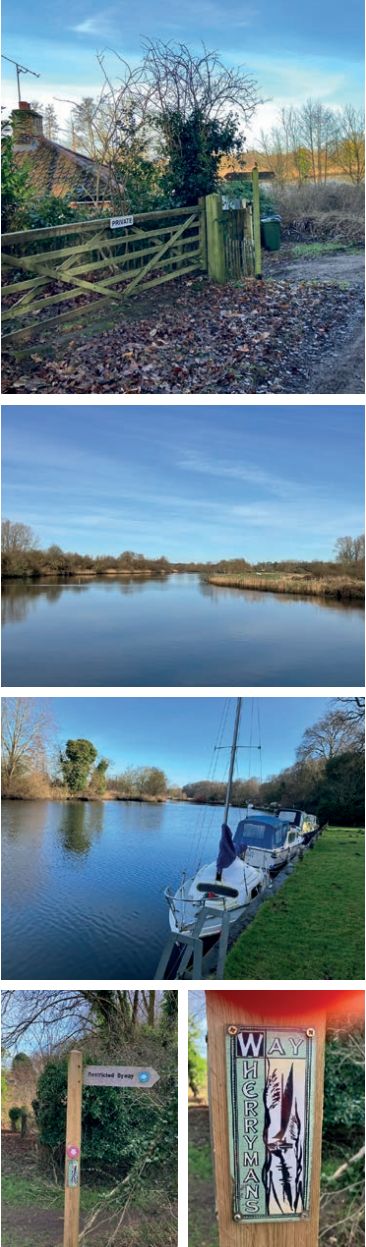
03. Keep walking along this minor road, leaving the river behind and walking along a wooded road, taking the footpath on the right labelled Wherryman’s Way and Cycle route 1. Walk through the gate and along the footpath, gradually uphill, giving great views across the river and valley at the top.
04. The path goes slightly downhill until you come to a concrete road. Turn right, walking along the concrete road until you reach a bend in the road. At this point follow the Wherryman’s Way along the track to the right and then almost straight away right again to walk uphill along a footpath.
05. You will then rejoin the path you left earlier, turn left, retracing your steps back to road. Then turn left along the road to a wooden restricted byway fingerpost on your right, which you passed earlier.
06. Take this footpath, slowly climbing uphill, until you reach a hedge separating two fields, veer into the left-hand field and walk up the incline until you reach Easthill Lane. Turn left onto Easthill Lane and continue until you reach the village hall on your left, the end of the walk.
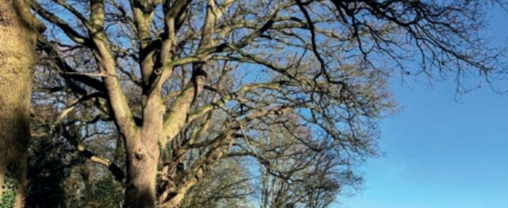
This walk is along minor roads and footpaths with great views, initially over the River Yare and marshes from the riverside, then as you climb, over the River Yare and woodlands. Look out for traffic on your walk and always remember to take nothing but memories and leave nothing but footprints.
Disclaimer: Although this route was checked prior to publication, readers should check for local changes before they walk and ensure they walk within their capabilities.
REVIEWED BY CHRISTOPHER WHITE
VOLUNTEER WALK LEADER AT CENTRAL NORFOLK WELLBEING WALKS