Mulbarton and Kenningham Hall
Walk Information

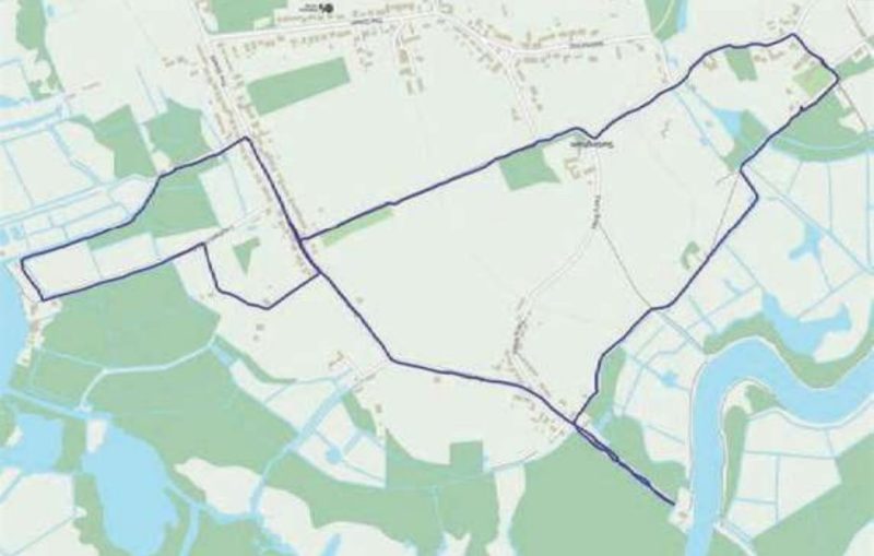
Starting Point: Mulbarton Village Hall, The Common, Mulbarton, NR14 8AE
Grid Reference: OS Map 237: 6193000
Walk Length: 4.5 Miles / 7.2 Km
Directions
01. Leave the Village Hall car park and cross the road onto the common. Walk across the common to its southwest corner. Turn right and then left into Forge Orchards. Walk along the footpath at the end onto Lark Rise and take the second left into Owl Drive. At the end of Owl Drive Walk take the footpath and turn right onto Southern Reach. At the T-junction with Birchfield Lane turn right. At the T-junction with Cuckoofield Lane cross the road and turn left.
02. Walk around the grassed area, keeping the hedge on your right, to reach Long Lane. Turn right and cross the road and walk along Long Lane. Turn left into Minnow Way, then left into Sterlet Grove. Opposite a green park area, turn right to walk along a path with a ditch to your right. On reaching Minnow Way once more, turn left and keep left to walk to the end of the cul-de-sac. Take the left-hand path until you join a public footpath.
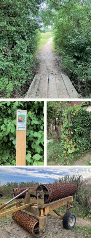
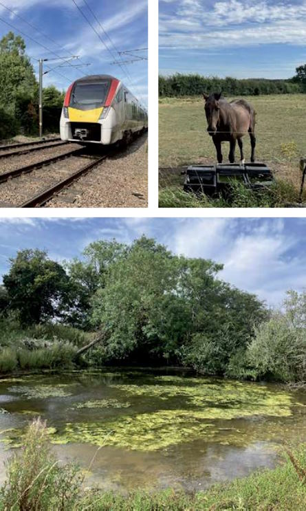
03. Turn right onto the footpath and cross a plank bridge. Walk straight across a field on a well-worn path and follow the path across the field and continue ahead on a track. After a group of buildings (Church Farm) turn left onto a country road. Continue along until you almost reach a level crossing but turn left in front of a pink cottage (Woods Cottage) onto a track. At the end of the track, use a footpath to walk straight across a field, go through a gap in a thick hedge to the left of the pylon.
04. Turn left to walk around a field. Turn left at a marker post and immediately right onto a hard track. Continue straight on. Turn left by a hedge before a duck pond onto a stony track then right through a gate which can be a little difficult to open. Keep the hedge to your right, and the electric fence to your left and go straight ahead, then through a gate in the corner. Cross a plank bridge and turn left to walk to the left of the electric fence.
05. Follow the hedge round the corner of the field; past some houses to turn left onto a road. Continue left around a bend. Take care, this road can be busy. Ignore the footpath on your right, keep along the road and take the gap through the hedge on the right into the next field. Turn left and walk around the field with the hedge on your left until you reach the gap on the hedge onto Stile Close.
06. Turn right onto Stile Close, then forward onto a path. Keep ahead through a cut thorough onto a small area of grass. Walk through this to Bluebell Road. Cross Bluebell Road and continue to follow the path to go through a passage to reach Long Lane. Turn right and walk towards the common until you reach the Village Hall car park.
Disclaimer: Although this route was checked prior to publication, readers should check for local changes before they walk and ensure they walk within their capabilities.


REVIEWED BY CHRISTOPHER WHITE
VOLUNTEER WALK LEADER AT CENTRAL NORFOLK WELLBEING WALKS


